Whether you are cruising or racing, satellite phones are vital for position reporting and obtaining weather data.
There are many different systems for creating, sending and receiving satellite communications and position reporting can be made with a simple SMS or email.
As technology continues to evolve, boat owners should keep track of the various devices which may improve their communications.
Understanding networks
Electrotech Australia recommends the use of one of these four networks:
- Inmarsat: All Inmarsat satellites are geostationary in High Earth Orbit
- Iridium: All Iridium satellites, including the Next (Certus) network, are in Low Earth Orbit, with 11 satellites for each orbiting plane. Iridium also has truly global coverage.
- Thuraya: This network has a fleet of five satellites, serving more than 160 countries.
- Globalstar: Has more limited coverage and voice performance.
The Iridium network has 66 Low Earth Orbit (LEO) satellites and provides worldwide coverage with at least one satellite above 8.2 degree inclination at all times.
The satellites move fast, travelling at speeds of 27,088 km/h. This means they move from horizon to horizon in nine minutes or less.
Each satellite uses three phased-array antenna panels to project 48 L-Band spot beams on the Earth’s surface. Each spot beam is approximately 400km in diameterand has a footprint of approximately 4,500km in diameter.
The satellite footprints overlap to provide full global coverage, but an unobstructed view to the sky is important.
Iridium satellites spend a significant amount of time at relatively low elevation angles, so you should limit obstructions to the sky in all directions.
Products available
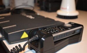
Iridium Extreme – Click for more information
The latest model (9575) is light and compact, with a tough military-grade design. It has up to four hours of talk time, with online tracking and a built-in GPS-enabled SOS button with emergency services.
It has truly global coverage and allows communication of SMS and short emails. The call meters track airtime, so you can keep a running tab of your monthly usage, or view the air time of your most recent calls.
All Iridium handsets use the Iridium Next network, but are unable to use the Certus network.
Download the product brochure for more information.
IsatPhone 2 – Click for more information
Inmarsat’s IsatPhone 2 is ready, reliable and robust, with a high quality voice service, text and email messaging services.
A message can be sent from the web on land to an IsatPhone. It has the longest battery life in the industry, with talk timeof eight hours and 160 hours on standby.
The IsatPhone 2 has a fast call set up, a dedicated assistance button in case of emergency and can be programmed to send location information at set intervals.
You can receive incoming call alerts even when the antenna is stowed.
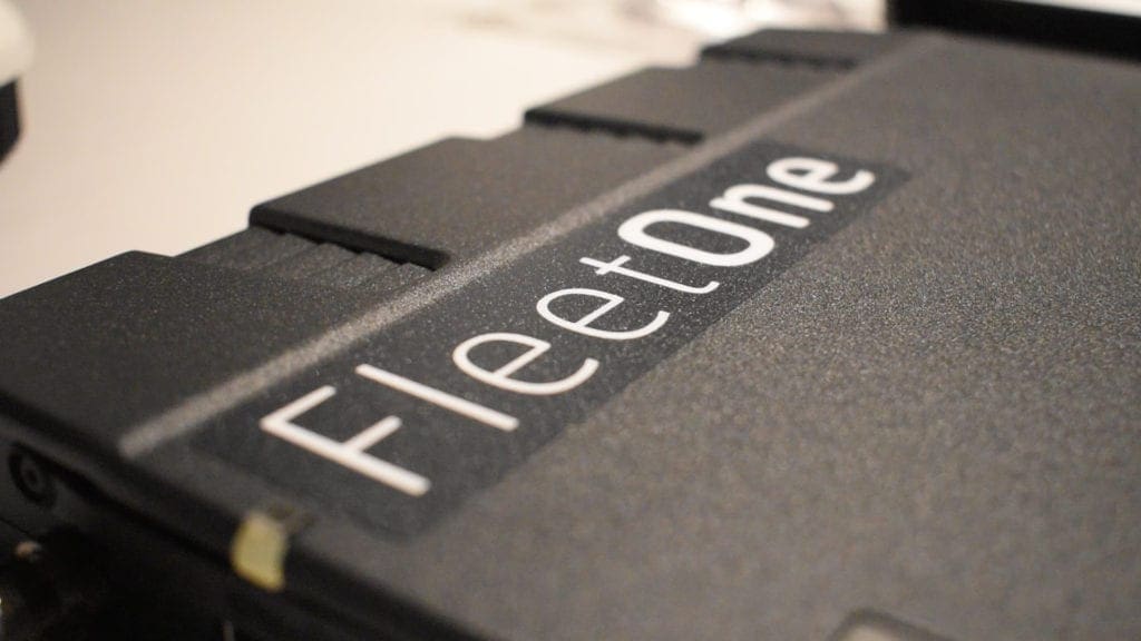
Fleet One – Click for more information
Inmarsat’s Fleet One guarantees ‘uninterrupted access to the latest navigation, safety alerts, emails, SMS and voice calls’.
Fleet One has a simple set-up, with hardware that is easy to install.
You can choose between two packages – Fleet One Global and Fleet One Global.
Check out the video explainer on the Inmarsat website to understand how Fleet One operates.
LT-3100 – Click for more information
Iridium’s LT-3100 satellite phone is designed for the professional market. Its voice and data capabilities have full global coverage.
The LT-3100 provides voice, SMS, data, vessel tracking and other Iridium services. It’s built well for offshore conditions, with an operational temperature range from -25 degrees Celsius to +55 degrees Celsius.
LT-3100S – Click for more information
The LT-3100S is a Global Maritime Distress and Safety System (GMDSS).
The GMDSS functionality includes a distress alert, maritime safety information, safety calling, safety messaging, bridge alert management, navigational interface and a terminal test.
Iridium Certus – Click for more information
The Iridium Certus network offers the highest L-Band data throughput available. It has three simultaneous high-quality voice lines, high-speed streaming and IP data speeds up to 704kbps.
Check out the fact sheet for more information.
VesseLINK terminal interfaces – Click for more information
Thales’ VesseLINK is voice and data-enabled, delivering up to three dedicated voice channels.
It features location tracking and operational enhancements including multiple user capability (up to 12 connected devices), system monitoring, crew connectivity and more.
Iridium GO!
Iridium GO! allows you to send text messages or make voice calls using your smartphone or tablet.
It enables satellite connectivity for mobile devices where terrestrial networks cannot.
You can connect multiple devices and has optimised apps, including GPS tracking, emergency alerts, email access, weather updates and photo sharing.
RedPort Optimizer
The RedPort Optimizer blocks all unnecessary computer traffic, with only XGate email and XWeb compressed web data passing through the router.
This can reduce airtime bills casued by background computer traffic.
The RedPort Optimizer works with smartphones, tablets and computer devices running Android, Apple iOS, Apple Mac and Windows.
Applications
There are a number of systems for creating, sending and receiving emails. The commonly known ones are UUPlus, SailMail and ClientSatMail.
Some depend on software called Xgate, though use is not limited to the hand held type of satellite communications device. ClientSatMail works better in conjunction with a RedPort Optimizer. It may be that not all the applications are compatible with the Optimizer and Xgate so it’s worth checking the compatibility.
Position reporting can be with a simple SMS or email. In both cases, the message is text.
With the slow speeds of handheld satellite phones, it’s best to avoid graphics and replies which include the original message. The sign off to emails might include words like “do not reply” to minimise the data received, which equates to cost.
There are a few race navigation systems that have an interface for direct access to data through a satellite device, using a device such as the Optimizer, or directly as if the user were connected to the internet through a satellite modem.
The latter is generally far quicker but much more costly than through an Optimizer. The downloads could be weather forecasts, weather grib data files or position reports.
Yellow Tracking Brick provides a system whereby position reports can be received at regular intervals as simple text files or bigger files in differing formats (eg txt, html. kml) for import into a variety of race navigation software for analysis with the software.
The Bureau of Meteorology provides text file forecasts specifically for satellite devices, called Marine Weather Services (Lite) in shtml format. If the page is saved, it can be opened readily by programs like LibreOffice.
Predictwind, through the Offshore App, can provide grib files but test the size of the download files and corresponding resolution through the internet before embarking on using a satellite device. These files can be done either directly of via an email request.